Проверка данных
Автоматическая проверка данных на разных этапах работ - гарантия целостности базы геоданных
Проверка при загрузке в базу геоданных
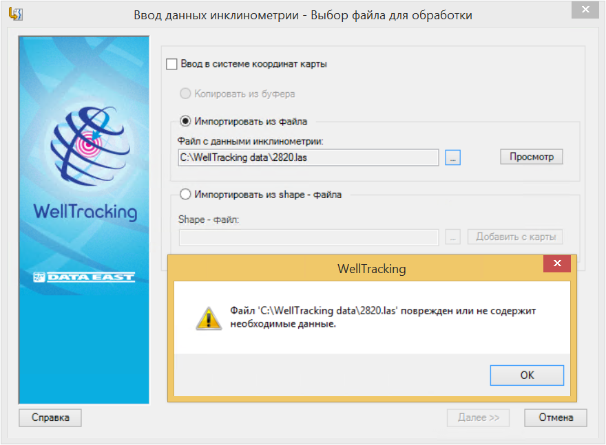
Для построения траектории стволов скважин используются текстовые файлы форматов *.inc, *.las, *.lst и *.txt. Для создания пластов, траекторий стволов и т.д. из буфера обмена используются xls-таблицы предопределенной структуры. Каждый инструмент геообработки имеет собственную структуру входного *.csv и *.xls-файлов.
Если формат и структура вводимого файла не соответствует принятому в WellTracking эталону, пользователю выдается предупреждение и работа загрузчика данных блокируется.
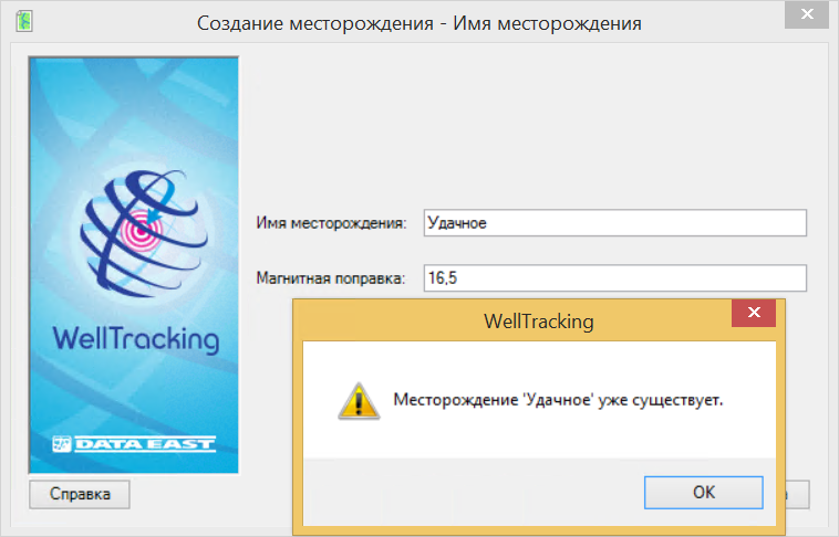
Защита данных от дублирования
База геоданных WellTracking должна содержать только уникальные объекты. Например, в ней не должно быть лицензионных участков с одинаковыми именами или месторождение не может содержать кусты с одинаковыми номерами и т.д. Поэтому при проведении операций редактирования объектов базы геоданных приложение осуществляет проверку уникальности их имен и номеров.
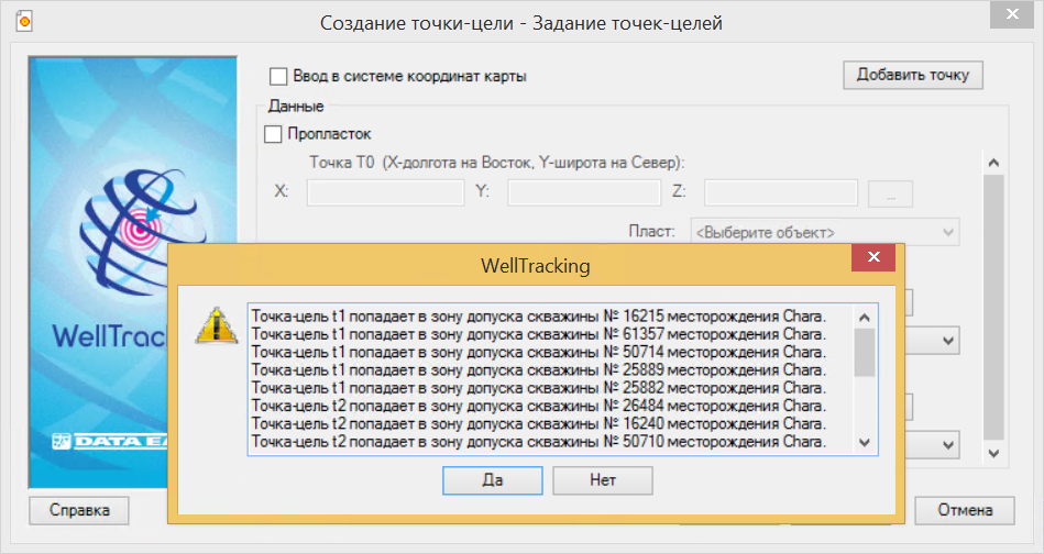
Проверка геометрии
При создании или обновлении пространственного объекта происходит проверка корректности его геометрии. Например, при построении линии батареи проверяется выход ее геометрии за пределы кустовой площадки. При создании точки-цели будет определяться будет ли она попадать в зоны допуска соседних точек-целей.
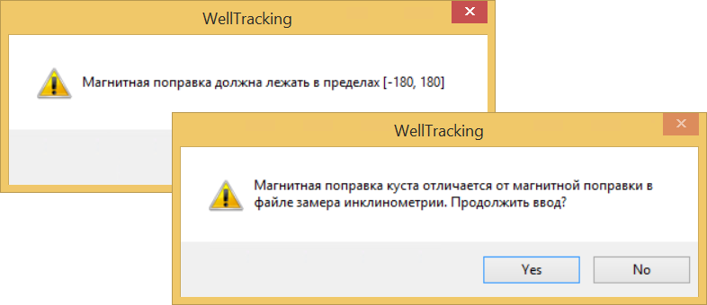
Проверка атрибутов
Проверка соответствия структуре эталонной базы геоданных не позволит ввести некорректную информацию в атрибутивные таблицы классов объектов в процессе их редактирования.
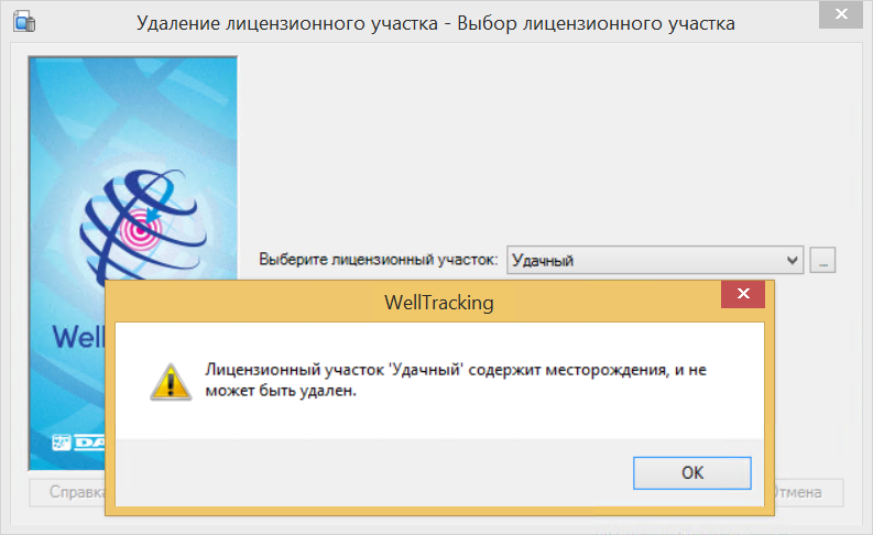
Проверка данных перед удалением
Все объекты в базе геоданных связаны между собой. Приложение не позволит случайно удалить пространственные объекты, логически связанные с другими объектами базы геоданных WellTracking. Например, вы не сможете удалить кустовую площадку, предварительно не удалив батарею и скважины на ней.