Миграция данных
Миграция данных в WellTracking – это процесс переноса данных, полученных в результате бурения, из различных систем на платформу ArcGIS и приведение их к международным стандартам
Перевод данных бурения из различных форматов в форматы, поддерживаемые ArcGIS
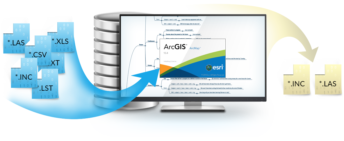
Конвертирование данных бурения форматов *.inc, *.csv, *.las, *.lst, *.txt, *.xls
Экспорт траекторий стволов из базы геоданных WellTracking в текстовые форматы *.inc, *.las
Объединение баз геоданных WellTracking
Обмен данными бурения между базами геоданных с сохранением структуры целевой базы
Массовая загрузка данных бурения из текстовых файлов в базу геоданных
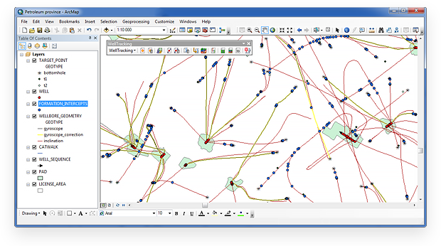
Массовая загрузка пластов, кустовых площадок, батарей, стволов скважин и замеров инклинометрии при помощи инструментов геообработки
Загрузка архивных скважин с траекториями стволов и кустовыми площадками, ввод точек пластопересечений и др. при помощи инструментов обработки данных