Приложение для 3D-визуализации и эффективного управления пространственными данными бурения на базе геоинформационной платформы
Обновленная версия 6
Новая лицензионная политика, новые инструменты и многое другое...
Узнайте подробнее какие изменения подготовила для Вас команда WellTracking
Новые типы однопользовательской лицензии
|
|
WellTracking Basic |
|
WellTracking Standard |


Автоматизированное рабочее место маркшейдера
Автоматизация бизнес-процессов маркшейдерских служб добывающих предприятий при помощи 60 инструментов обработки и геообработки пространственных данных
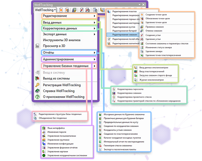
Все инструменты модуля сгруппированы в несколько функциональных групп, решающих следующие задачи:
- проектирование скважины;
- осуществление контроля за соблюдением границ лицензионного участка;
- получение координатной информации для бурения;
- корректировка данных после бурения;
- обработка телеметрических замеров;
- расчет координат точек пластопересечений и т.д.
Богатый инструментарий, находящийся в распоряжении маркшейдера, позволяет поддерживать базу геоданных по скважинам в актуальном состоянии.
Трехмерная пространственная модель месторождения
Единые методики расчетов, единый стандарт форматов данных, верификация на всех этапах работ позволяют получить точную пространственную модель месторождения
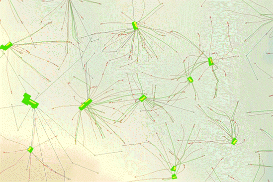
Точная пространственная модель исключает возникновение аварий во время бурения, связанных с неверным представлением о положении траекторий стволов.
Пространственная модель обеспечивает:
- единое хранилище данных по скважине;
- работу в едином координатном пространстве;
- целостность картины всего месторождения.
Снижение рисков при бурении
Точность определения координат скважин и пространственного положения их стволов минимизирует риски при бурении
С увеличением числа скважин на кустовой площадке возрастает опасность встречи их стволов при бурении. Знание точного пространственного положения ствола скважины позволяет:
- предотвратить пересечение стволов бурящейся и ранее пробуренной скважины;
- рассчитать точное попадание забоя скважины в заданную проектную точку-цель;
- предупредить нарушение границ лицензионного участка.
Корректная координатная информация позволяет проводить бурение в заданном направлении с минимальными рисками.
Пользовательский регламент
Регулирование доступа пользователей системы к координатной информации в соответствии с корпоративным регламентом

Ограничение доступа пользователей к служебной информации на уровне базы геоданных и на уровне приложения.
- На уровне базы геоданных под управлением ArcGIS Server доступ сотрудника к данным определяется в зависимости от его роли в системе.
- На уровне приложения права доступа разделяются на администраторские и пользовательские. Для удобства организации работы с пользователями сервис приложения предлагает объединять пользователей, имеющих одинаковые права, в функциональные группы. Функциональные группы пользователей имеют доступ только к определенному набору инструментов.
Документальное сопровождение всех этапов маркшейдерских работ
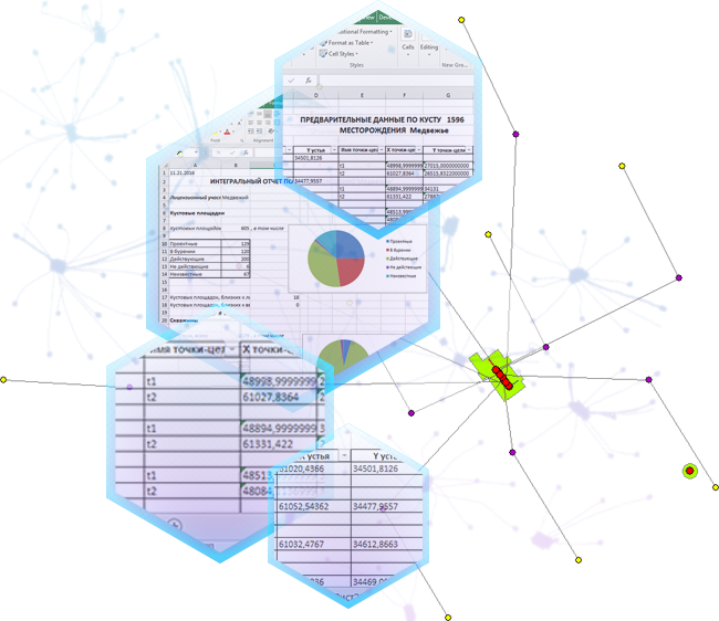
Каждый этап маркшейдерских работ сопровождается отчетной документацией:
- На этапе проектирования строятся отчеты в виде задания на бурение: «Исходные данные по бурению скважины», «Проектные данные по бурению батареи», «Предварительные данные по кусту»;
- После бурения получаются отчеты «Координаты устьев скважин», «Сведения по пластопересечениям» и т.д;
- Обустройство месторождения поддерживается отчетом «Каталог координат исходных пунктов»;
- Статистика по всем скважинам месторождения отражается в отчете «Интегральный отчет по месторождению».
Эти стандартные отчеты обеспечивают поддержку маркшейдерских работ на всех их стадиях.
Поддержка актуальных и архивных данных инклинометрии
Возможность обработки актуальных и архивных данных бурения едиными методиками расчета, рекомендованными отраслевой нормативной документацией
Постройте профиль ствола скважины, используя предложенные методы:
- Метод средних углов;
- Метод расчета по радиусу кривизны;
- Балансный тангенциальный метод.
Для загрузки траекторий стволов в базу геоданных WellTracking использует данные в форматах *.shp, *.inc, *.las, *.lst, *.xlsx.
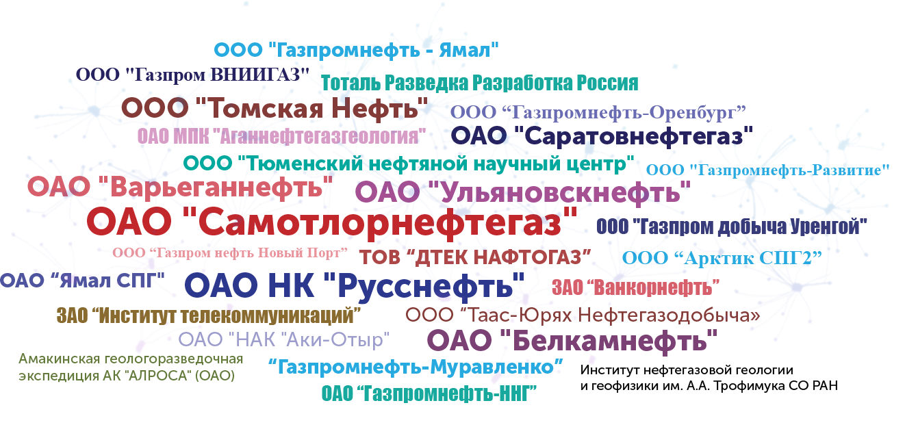
Пользователи WellTracking